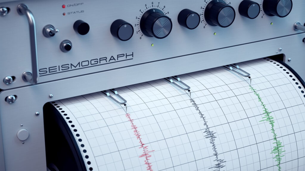
Lakes as archives of the past
Did you know that lakes can tell us something about the past? They are valuable archives that help us reconstruct past climatic and ecological conditions, as well as geological events, such as past earthquakes or volcanic eruptions. Sediment is deposited at the bottom of a lake year after year. In contrast to land surfaces, lake sediments are not affected by erosion or human intervention and are therefore optimally archived. Using geotechnical methods, samples of these layers can be brought to the surface and examined for their chemical and physical properties to gain valuable insights into the past.
Lake Achensee reveals past earthquakes
Researchers at the University of Innsbruck (Institute of Geology) have been investigating Lake Achensee in recent years and have made some astonishing discoveries:
While investigating the lake’s basin, the scientists discovered an unusual terrain feature, which turned out to be a tectonic fault.
A fault zone is an area in the Earth’s crust where rocks have been broken and displaced. These shifts are caused by stresses that build up due to the movement of the Earth’s plates. If these tensions become too great, they trigger earthquakes. During an earthquake, the rock shifts jerkily along the fault and we feel the energy released as a tremor.
Would you like to learn more about the movements of the Earth’s crust? Click here!
Along the fault zone in the depths of Lake Achensee between Maurach and Pertisau, the scientists examined the lake sediments to find out more about past earthquakes in this region:
- They found evidence of three strong earthquakes that had a magnitude of around 6 to 6.5 (Mw). An earthquake of this magnitude can be felt within a radius of several hundred kilometers and cause considerable damage.
- The researchers were also able to prove that these strong earthquakes occurred in the last 17,000 years, with the most recent one around 8,300 years ago. This fault zone is therefore considered geologically active (Oswald et al. 2021).
- The sediments at the bottom of the lake also provide evidence of eight other earthquakes, including the well-known earthquake of Hall in 1670 (Oswald et al. 2021).
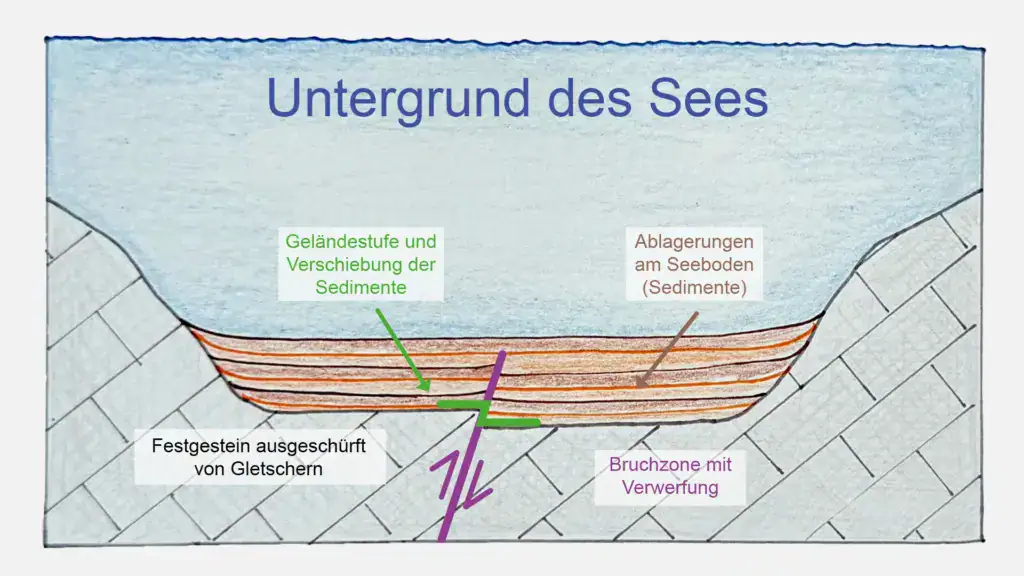
The figure shows a schematic cross-section of a lake´s basin. A fault zone and the displacement of the sediment deposits at the bottom of the lake are the result of tectonic movements within the ground. Such geological structures serve as indicators of past earthquakes and allow conclusions to be drawn about seismic activity in the region. (Image source: own illustration)
Earthquake activity in the Alps
The discovery of this fault zone in Lake Achensee provides important insights into the tectonic activity of the Alps and serves as a significant earthquake archive. The Alps are a geologically active mountain range in which earthquakes mainly occur along large fault zones. Regions such as the Inn Valley, the Mürz Valley, the Lavant Valley, and the Enns Valley are particularly affected. While strong earthquakes are rare (about every 1,000 to 2,000 years; Oswald et al. 2021), they can trigger large landslides or even tsunamis in mountain lakes. Research at Lake Achensee and other mountain lakes helps to better assess future earthquake hazards in densely populated Alpine valleys, minimize risks and improve safety measures.