A watershed is an invisible boundary from which precipitation runs off in different directions. Imagine pouring water onto the apex of a pitched roof – some water flows to one side and some to the other. That is how a watershed functions in nature.
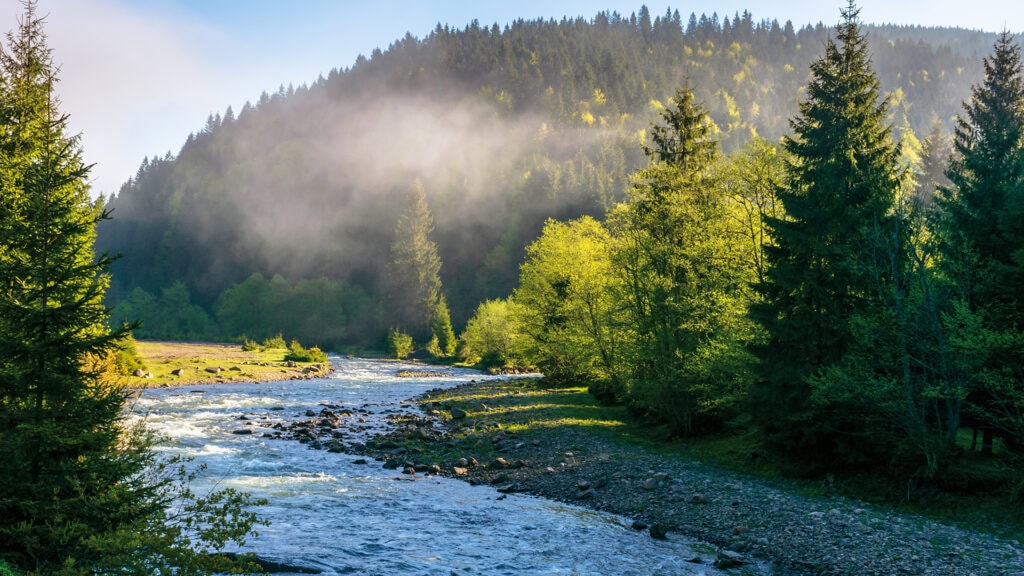
Often, watersheds align with prominent mountain ridges. On the Geo.Trail, the watershed is located on the slope of the Häuserer Kopf, dividing runoff between the Eggenbach (in the foreground) and the better-known Kasbach, a few hundred meters to the southeast. Although the sources of both streams are in proximity, their courses diverge significantly:
- Eggenbach: Flows into Lake Achensee, which drains northward toward Germany. At the Sylvenstein reservoir, it meets the Isar before joining the Danube.
- Kasbach: Flows southward into the Inn.
The two water sources meet again about 180 kilometers away at the Three Rivers Corner (Danube, Inn, and Ilz) near Passau, where they merge and continue their journey to the Black Sea.
One creek, many names!
The stream running through the Egg district originates at the lower end of the Egger Graben and is called Eggenbach in its upper section. Further downstream, however, it is known as Wankratbach.
A neighboring stream also bears two names. In its upper reaches, it is called Weitenbach, as its source lies in the Weitengraben. From the outskirts of the village of Rofangarten onward, it is known as Altthaler Bach.
Shortly before reaching the lake, the Eggenbach and Altthaler Bach merge to form the Wankratbach, which eventually flows into Lake Achensee. Variations in the name—Wankratbach versus Wankratzbach—reflect regional dialect differences.